Wien River
Back to all places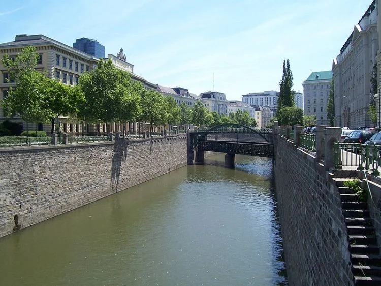
The river Wien is 34 kilometres long, of which 15 km are within the city. Its drainage basin covers an area of 221 km2, both in the city and in the neighbouring Vienna Woods. Its source lies in the western Vienna Woods near Rekawinkel and its mouth at the eastern end of the city centre of Vienna, next to the Urania, where it flows into the Donaukanal ("Danube Canal"), a branch of the Danube.
The Wien is subject to huge variations in flow. In its headwaters in the Vienna Woods, the soil is underlain by sandstone. Because of this, during heavy rain the soil quickly saturates, resulting in substantial runoff. Thus, the flow of the Wien can quickly increase from a creek-like 200 litres per second to 450,000 litres per second in the heaviest rains or during the spring snowmelt in the Vienna Woods, a ratio of over 1:2000.
Within the city limits, the river bed consists almost entirely of concrete, which was installed between 1895 and 1899 in order to stop the devastating floods, sometimes accompanied by cholera, which the river had regularly caused before that time. At the same time, the Stadtbahn ("city railway") was built, which makes use of the concrete river bed and is only separated from the river by a wall. It is now part of the Vienna U-Bahn system.
Along the course of the river, the Naschmarkt and the Theater an der Wien can be found. Much of the river is covered over in the city, particularly in front of Schönbrunn Palace, in the Meidling and Naschmarkt neighbourhoods and around Karlsplatz near the city centre.
The River Gate was built in the years 1903 to 1906 and was opened to the general public on 15 November 1906. The gate forms one of the most beautiful Jugendstil scenes to be found in the city of Vienna.
https://en.wikipedia.org/wiki/Wien_(river)
Photo: Dima Sergiyenko
48.20747, 16.38311